Beautiful Photography from Mt. Evans Scenic Byway
Tomorrow is the first day of summer. Usually I’d celebrate the occasion with a trip to Colorado’s stunning Rocky Mountains. Heading up to the Mt. Evans Scenic Byway has often been on my first day of summer list.
But this year, the Mt. Evans Road will not open and I won’t be able to make my annual pilgrimage. So I’ve updated this post that I wrote after a trip a few years ago, so I could still celebrate the first day of summer with my beautiful Rocky Mountains.
One of my favorite day trips from Denver is the Mt. Evans Scenic Byway. Normally open from Memorial Day to Labor Day (weather permitting), this spectacular byway winds up to the peak of one of the Rocky Mountain chain’s most accessible 14ers. The mountain is 14, 265 feet, and the road reaches a final height of 14,130 feet, making it the highest paved road in North America. Pikes Peak, near Colorado Springs, is the only other 14,000-foot peak accessible by car.
While the drive to the top takes less than two hours from Denver, you’ll want to plan much more time to fully enjoy all the scenic wonders of the Mt. Evans Scenic Byway–and it IS scenic.
The first stop is at the falls on Chicago Creek found along Squaw Peak Road when approaching Mt. Evans from the west (Idaho Springs). This pretty little falls is tucked away on a curve and often overlooked by many in their haste to reach Mt. Evans.
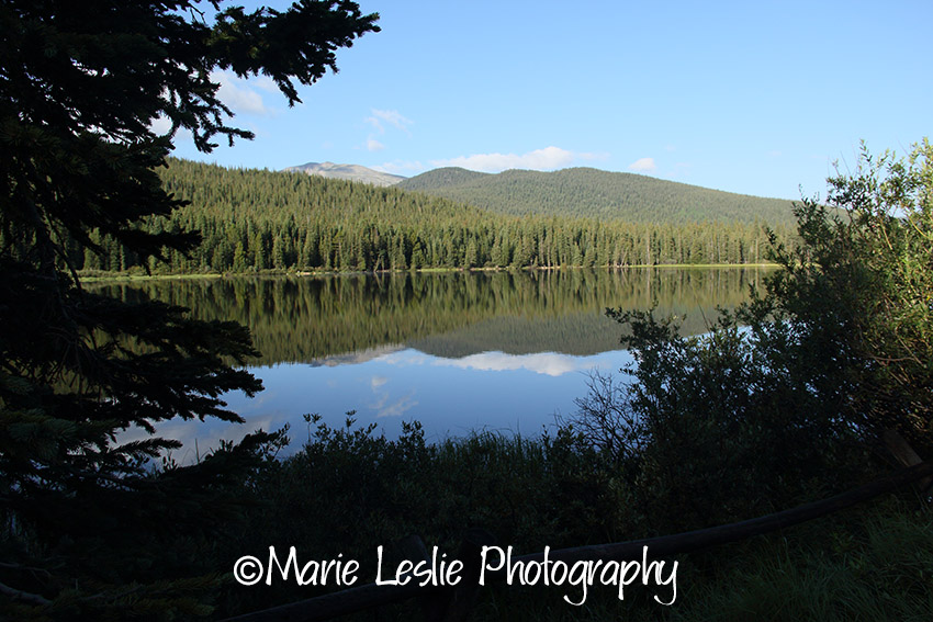
Next along the highway is Echo Lake at the base of Mt. Evans, just west of the turn off onto the byway. I love to arrive here as near as possible to sunrise as the lake is usually calm then and allows for beautiful reflections such as this image of Echo Lake and Alpine Peak.
Heading up the mountain you will want to stop at the Mt. Goliath Nature Center, where you can take a short hike and see many of the different types of high-elevation wildflowers and plants. You may also be fortunate enough to view some wildlife, like these downy woodpeckers.
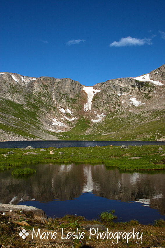
Continuing up this narrow and winding road (take your time, it’s more fun if you actually make it to the top), the next major stop is Summit Lake. Summit Lake is actually a city park of the City of Denver, so there is a $5 fee to park here, but it’s worth it. The lake is beautiful, especially when it is calm and reflects the peak.
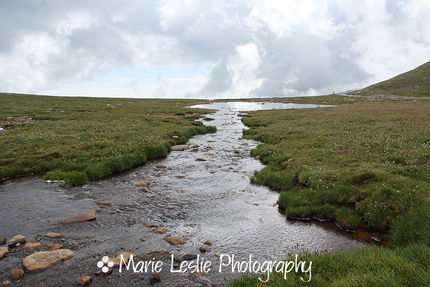
Turning the other way from the lake, the view is just as spectacular.
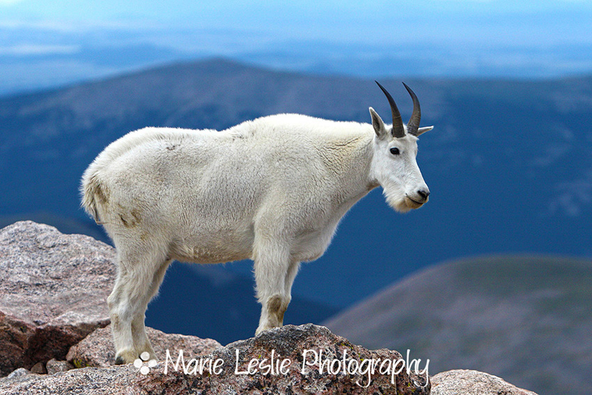
This last stretch of highway is often my favorite, as it is the part of the trip, where you are most likely to see mountain goats and other wildlife.
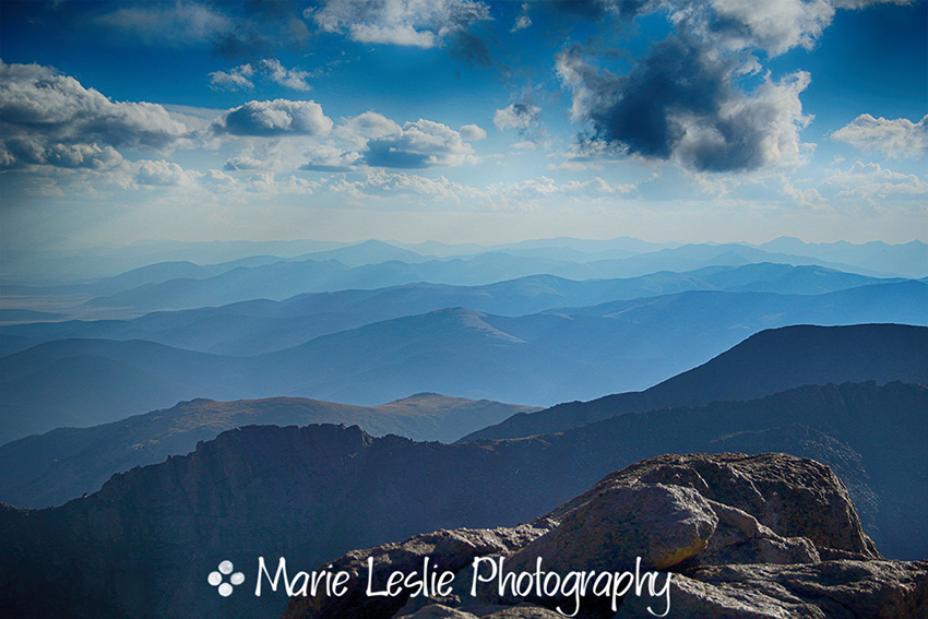
Finally arriving at the top, the views are amazing in every direction.
The weather can change quickly on Mt. Evans. Though it was a clear and sunny morning when I arrived, it was stormy and even snowy when I left, though it was August.
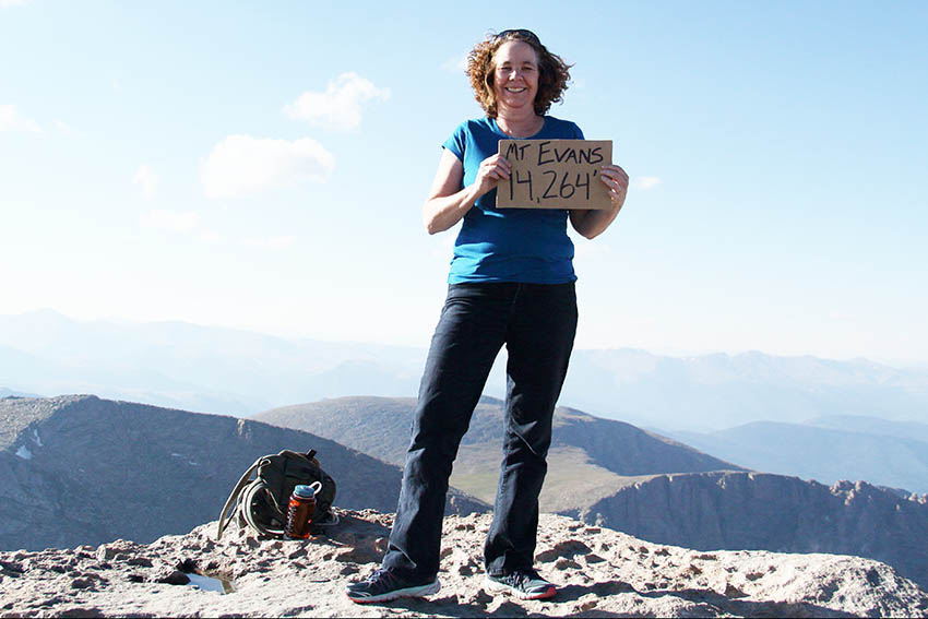
Once you’ve reached the top parking lot, it is only a short hike to the peak. But don’t be fooled. You are nearly three miles above sea level and your lungs will quickly let you know it. Take your time and rest when you need to. It’s apparently a tradition to be photographed with a sign showing the peak name and the elevation when you climb a 14er, so it made me smile to find this sign at the top of Mt. Evans. Of course, since I didn’t actually climb the mountain, it’s a bit facetious, but still fun.
While on top, I found engaging Mr. Marmot, who was not at all afraid of me and happy to pose for photographs. Marmots are cute members of the squirrel family, but they have sharp teeth and will bite if they feel cornered. As with all wildlife, keep your distance and use a long lens.
Heading back down, just below the summit on the south, there is a place you can park and hike down to the beautiful Helms Lake Valley. To my knowledge, this is the only way to get there, as there are no roads to this scenic paradise. I didn’t get to hike on this trip, but you can be sure it’s on my list for next summer.
If you’d like some additional views of Mt. Evans, here is a post I wrote after my first trip to the peak.
A few things to know before you travel the Mt. Evans Scenic Byway.
Mt. Evans Scenic Byway is park of the National Park system, so if you have a Federal Lands All-Access pass, admission is free. If not, it’s $10. From Denver, it’s about a 2-hour drive from the city to the peak–but really, plan time for your stops. Bring plenty of water and drink it (there are restrooms along the way and at the top, if that concerns you). High elevations are dehydrating, and dehydration can contribute to altitude sickness. If you begin to feel the symptoms of altitude sickness, you need to leave the mountain and go to a lower elevation immediately.
When you hike, be mindful that you are at an extremely high elevation. If you are not accustomed, you will tire much more quickly than usual. Listen to your body and take your time, resting as necessary. For what it’s worth, the 200-foot elevation gain–about a 5-minute walk from the parking lot to the peak winds me every time.
Bring a jacket. It can and does snow all year on Mt. Evans. I’ve had it snow on me in July. The weather can turn suddenly. If a thunderstorm rolls in, know that you are in an area of extreme danger. Return to your car immediately, and drive down the mountain as safely as possible. Lightning is deadly and your risk is increased at high elevation. If you are prepared, the Mt. Evans Scenic Byway will be a fun and memorable Rocky Mountain adventure.


